Your imagery, your toolkit — filtered, adjusted, and shared your way.
Maprizon is a community-powered imagery platform — a full toolkit, not just a viewer. Capture with any camera, adjust and filter what you see, then choose where it goes — out to OpenStreetMap and the wider community, or into a secure private repository built for your organization.
Why settle for a photo when you can have a toolkit?
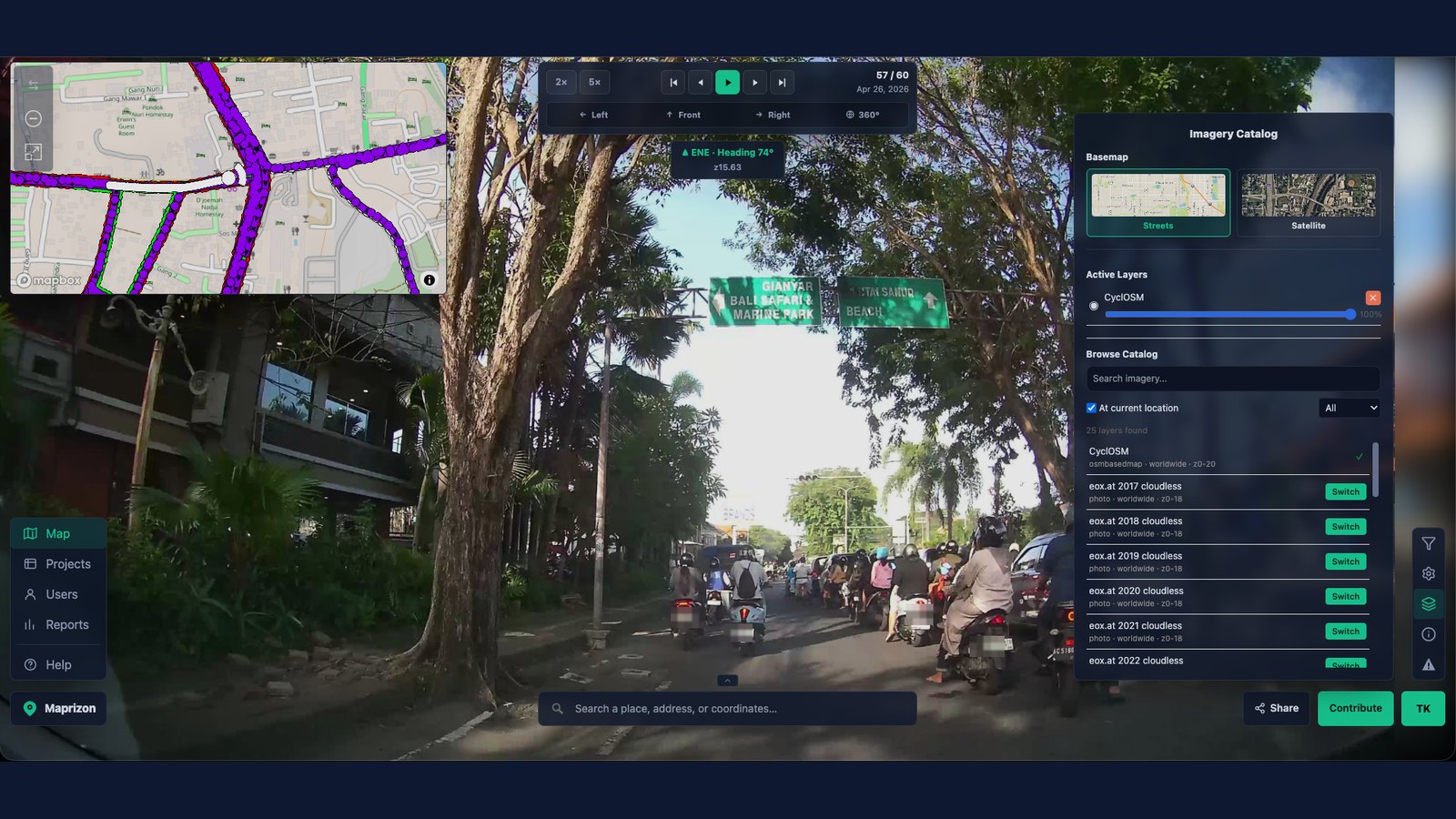
A basic viewer like Street View shows you a photo and calls it done. Maprizon gives you a toolkit: switch camera angles, layer imagery types, filter by freshness or coverage, and control who sees what — all built into how you view the map, not bolted on after the fact.
See more in every image
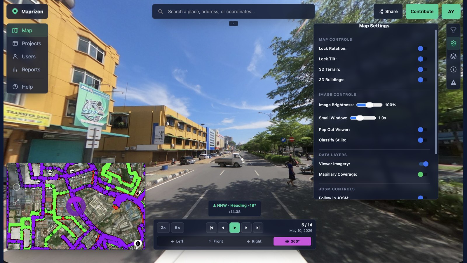
Built-in filters let you adjust exposure, contrast, and brightness on the spot — pulling detail out of shadows and highlights a basic viewer would just flatten, so you see more in every shot than ever before.
Open data for the greater good
Public contributions feed an open map the whole community can build on — powering OpenStreetMap, humanitarian and civic mapping, research, and navigation. Open licensing keeps the imagery useful to everyone, not locked inside one platform.
One platform, every imagery type
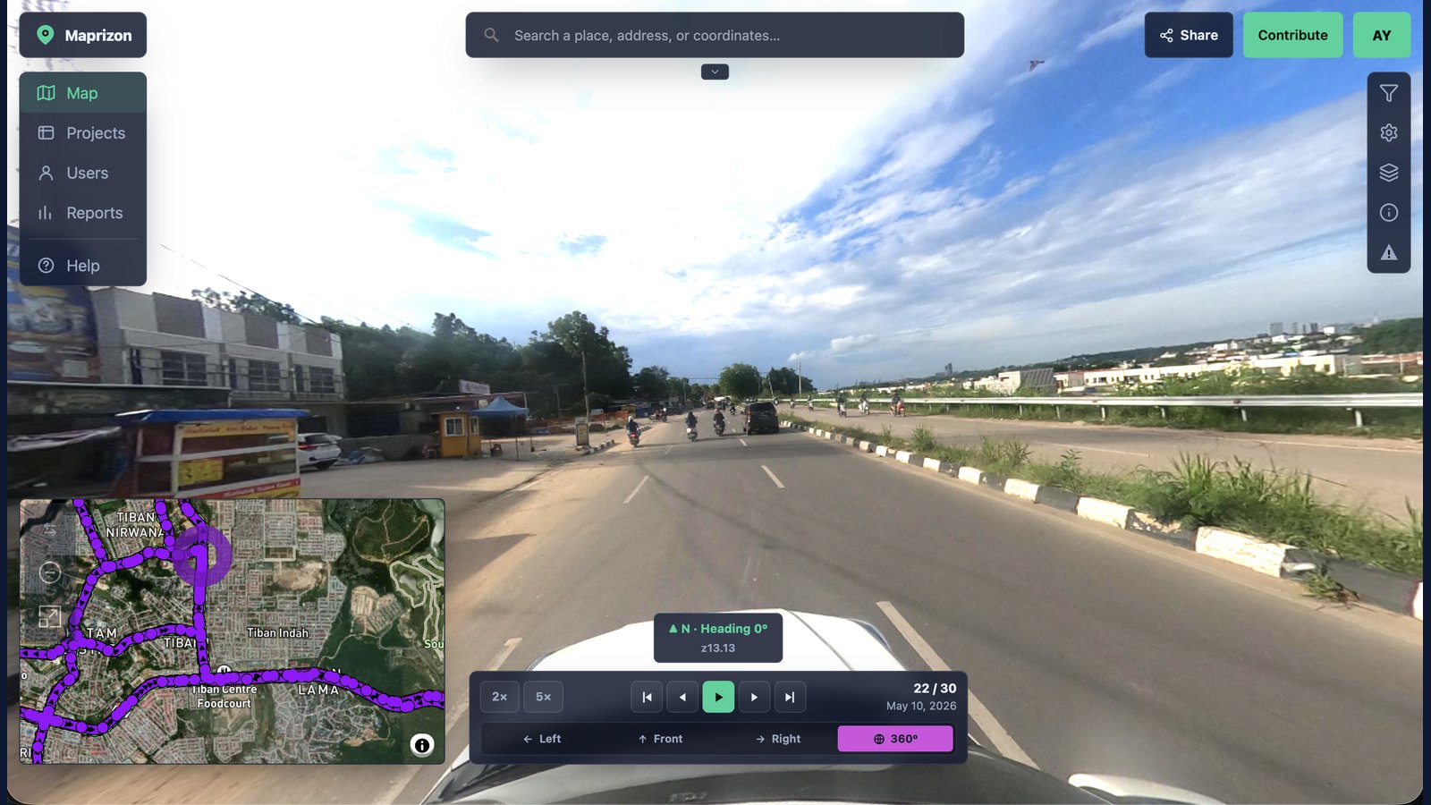
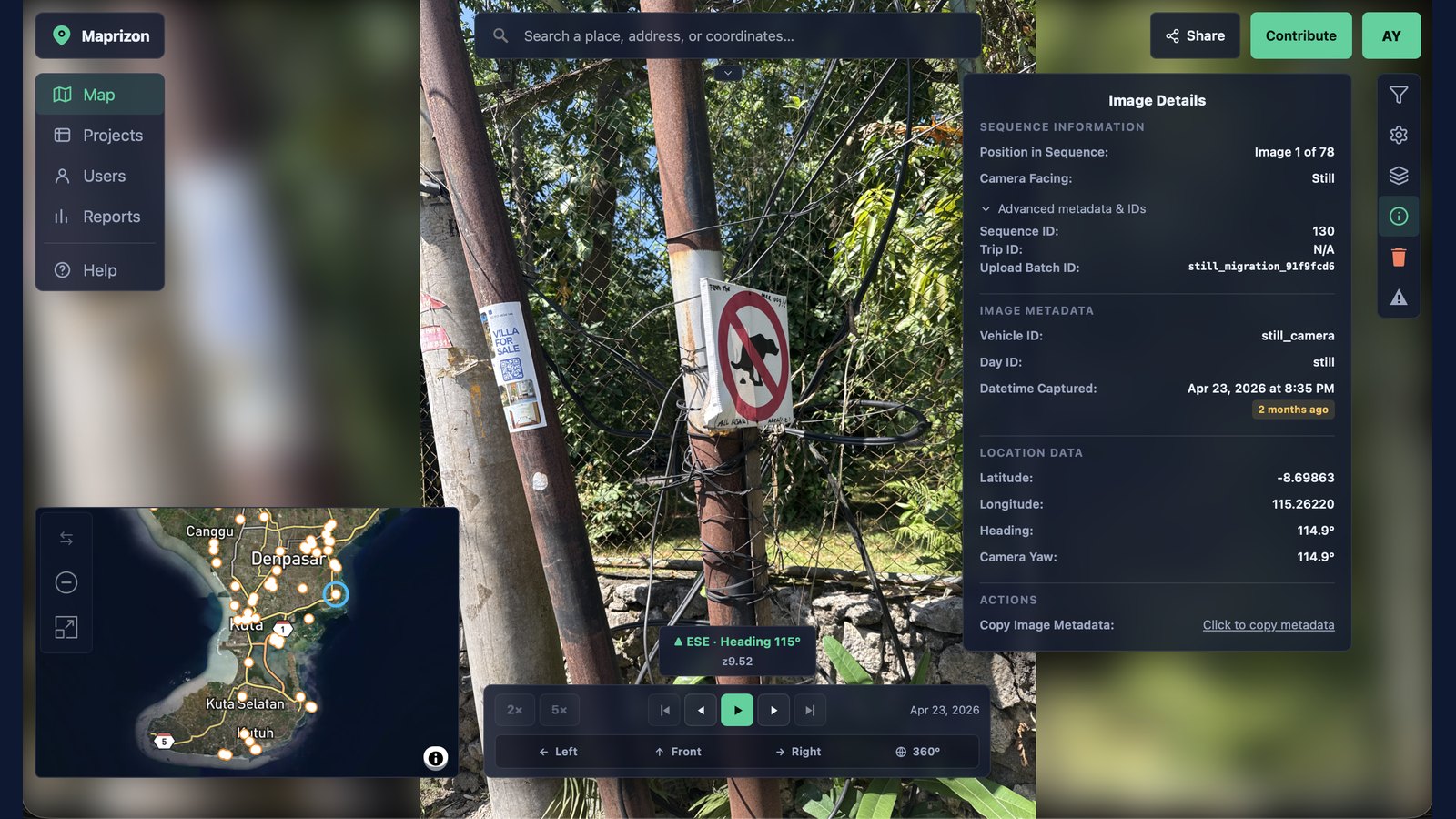
Street-level, 360°, and drone photo & video side-by-side with live map data — at full resolution, with zero compression. Phone, action cam, or a drone: if it has GPS, Maprizon puts it on the map.
Fair pricing that scales
A free tier gets you started, and every paid plan is priced simply and up front — clear, predictable pricing instead of confusing per-view metering. Easy to understand, and predictable as you grow.
One platform, two ways to use it
Share it with the world — or keep it to your team
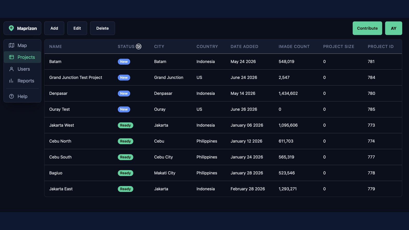
You control how every image is shared. Contribute it to the open map for OpenStreetMap and the community, or keep it in a private repository for your organization. You decide — per account, and per upload.
● Open imagery
For the OpenStreetMap community
GIS Pros · OSM Contributors · Humanitarian & Civic Mapping
Put places on the open map and keep them fresh. Your imagery is openly licensed, explorable by anyone, and wired straight into the OSM editing workflow.
✓ Free to capture, upload & view
✓ Upload continuous tracks or single images
✓ Native JOSM Editing — follow tracks while you edit
Engineers · DOTs · Utilities · Asset & Fleet Teams
Keep proprietary captures in secure, private collections visible only to the people you choose — with the same viewer, advanced tools, and full-resolution imagery.
✓ Private collections, visible only to who you choose
✓ Roles, projects & team access controls
✓ Full-resolution street-level, 360°, drone and still imagery
You're always in control. Set a default in your account, then choose public or private on each upload — mix open contributions and private projects in the same workspace, and change a collection's visibility anytime.
Built in, not bolted on
Everything you need to map the world
Capture-to-map pipeline, Privacy tooling, and more integrations — ready out of the box.
Automatic privacy blur
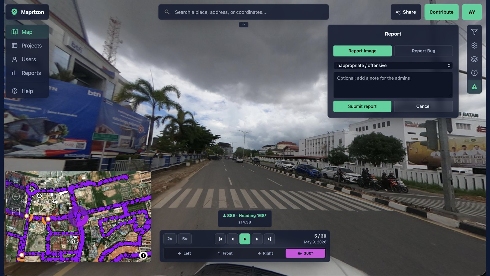
Faces and license plates are detected and blurred on upload — by default. Privacy is the starting point, not a paid add-on.
Easily distinguished camera angles
Color-coded controls show exactly which way you're looking — left, front, right, or full 360° — matched to the same colors on the map, so the angle you're viewing is always clear.
Native to OSM & JOSM
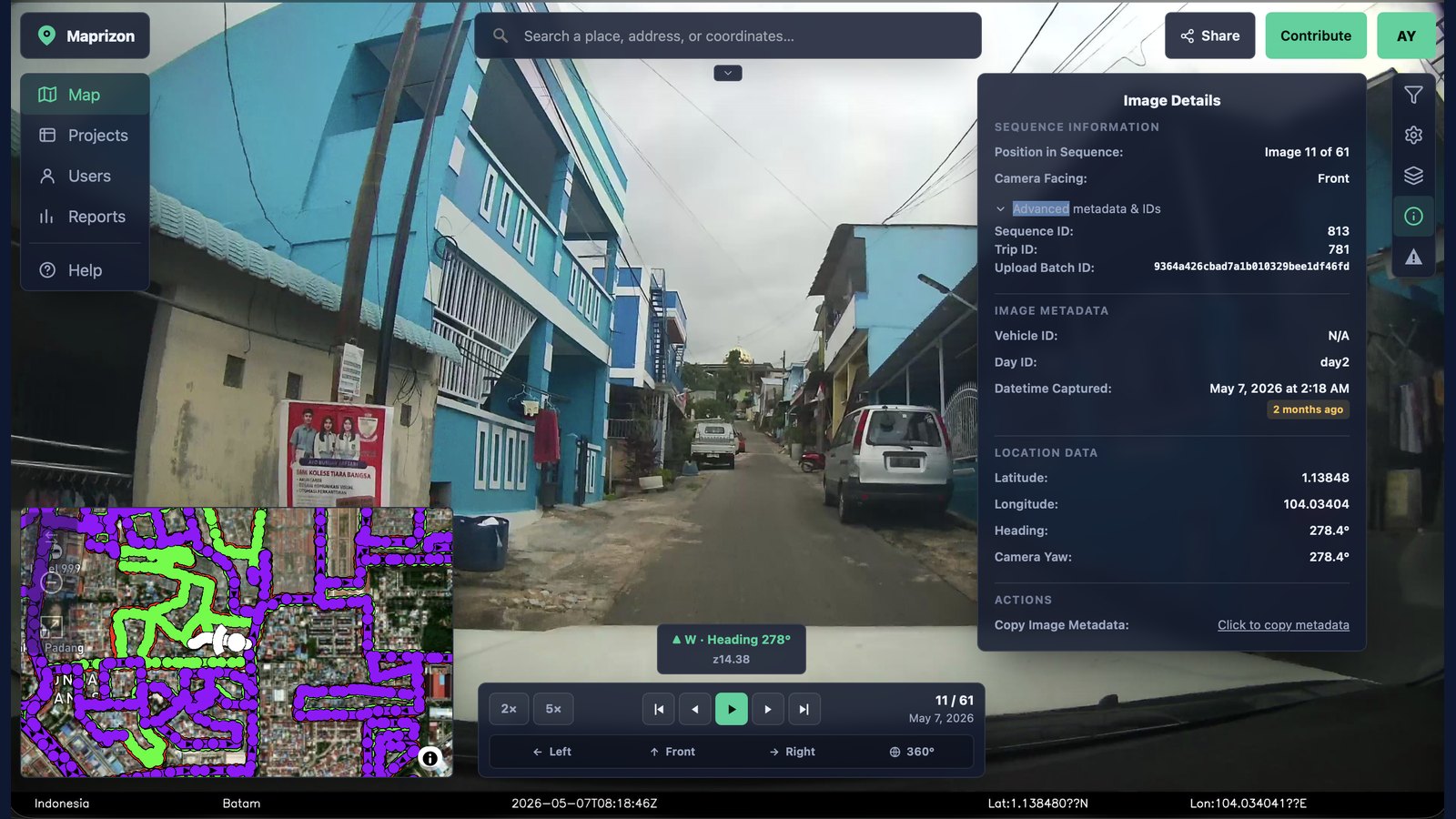
Built for editing first. Imagery tracks sync straight into JOSM, so you follow the drive and reference street-level views right where you map — no copying coordinates or juggling separate tools. Mapping OpenStreetMap is faster and more accurate than bolting street view onto a general-purpose viewer.
Public or private — your choice
Set a default in your account, then flip any upload or collection between open and private. Contribute to OSM and lock down proprietary work — all from one workspace.
Drone imagery & video
Fly it, upload it, see it on the map — geotagged drone photos and full video clips, with the flight path drawn alongside every other layer, not siloed off in a separate viewer.
Upload your way — desktop or browser
Use the desktop uploader for full camera support on big imports, or skip the install and drag photos straight into the browser uploader for a quick upload. Faces and plates get blurred and tracks aligned automatically either way.
AI feature detection
Automatically extract signs, poles, road markings, and other assets from imagery and place them on the map as data.
In Development
API & export
Pull imagery and detections into your own GIS, app, or pipeline. Your data is portable by design — bring it in, take it out.
In Development
Mobile app
Capture imagery and edit OpenStreetMap data straight from your iPhone or iPad — a native iOS app is on the way.
Coming Soon
How we compare
Open and flexible beats closed and restrictive
How Maprizon compares to the platforms mappers use today.
Swipe the table sideways to see all four platforms
Comparison reflects publicly available positioning as of 2026 and is intended as a general guide.
From sidewalk to map
Contributing takes minutes
Any GPS-enabled camera works — a phone in a windshield mount is enough to get started.
Capture
Drive, ride, walk, or fly — any GPS-enabled 360°, action, or drone camera works. Every frame is automatically geotagged with its location and heading as you capture, so each image lands in exactly the right spot — and points the right way — on the map.
Upload
Drag your camera recordings, still images, or drone footage straight into the browser — no desktop app required. Faces and plates are blurred and tracks are aligned automatically.
Choose how to share
Your imagery appears on the map within 15 minutes. Manage it in your project folders and decide how each collection is used — keep it private to your team, publish it to the open map and sync to OSM, or push it to other platforms like Mapillary.
Free is capped at 5 GB with no way to add more private storage. Every other plan's storage grows with you — extra storage above what's included is billed at $0.10/GB, with no hard ceiling. Imagery pushed to public visibility does not count against your private storage limits.
Storage above what's included is billed at $0.10/GB — organization-wide, with no hard ceiling. Extra seats beyond what's included are billed at $8/mo each.
FAQ
Questions, answered
GoPro Fusion, GoPro Max, and GoPro HERO11 Black 360; Insta360 ONE X2, Pro, and Titan; RICOH THETA S, V, X, Z1, and m15; Garmin VIRB 360; Labpano Pilot Era and Pilot One; and Samsung Gear 360 are auto-detected on upload, so your footage is tagged as 360° without any manual setup. Any other GPS-enabled phone or action camera still works — it just uploads as standard flat imagery instead of a panorama.
A single photo is fine — including a one-off 360° panorama shot on its own, with no drive or route behind it. Maprizon tracks direction and projection separately under the hood, so a lone panorama still renders and pans correctly instead of being forced into a drive sequence it was never part of.
Both. Drone photos drop onto the map like any other imagery, and drone video clips play back with their flight path drawn right alongside the footage — built around DJI's onboard GPS telemetry today, with more drone formats on the way.
The desktop uploader currently recognizes the widest range of 360° and video cameras and is built for large batch imports. The browser uploader needs no install and is the faster path for a handful of still images. If a card isn't being read correctly in the browser, the desktop app is the one to try next.
Yes — the built-in Measure tool lets you click reference and target points in a photo and get a distance or height estimate, using either a same-depth comparison or single-view ground-plane geometry, no extra equipment required. It's a fast field estimate, not a certified survey measurement, so verify anything that needs to be exact.
Yes — a full set of adjustment tools is built into the viewer itself, so you don’t need to export an image to edit it. Adjust exposure, contrast, brightness, hue, and gamma, apply sharpening, isolate individual RGB channels, or invert an image, all on the spot while you’re viewing it. There’s also a colorblind-safe palette mode that recolors every category on the map — facings, GPX tracks, and more — for clearer viewing.
It stops being viewable immediately — there's no cache or delay to wait out. The underlying files are permanently destroyed from storage within 24 hours, and it's fully cleared from the public map's baked tiles within 48 hours (tiles refresh nightly, so that window is the outside edge, not the typical case).
Yes. Every organization gets its own private, isolated cloud storage the moment it's created — imagery, tracks, and account data for one organization are never mixed into another's, whether you're on the free tier or a private team plan.
Tap the image to zoom in, then drag to pan
We use cookies to enhance your browsing experience and analyze our traffic. By clicking “Accept,” you consent to our use of cookies. You can also decline. Read our Privacy Policy for more information.